|
 ความคิดเห็นที่ 16
 |

FindSomeOneToLoveMe
LG Mobile มี GPS Track Logger ด้วยเหรอครับ
น่าสนใจมาก.... เดี๋ยวไปหาข้อมูลดู
...............................................................
ยังมีอีกวิธีที่ไม่ได้บอกรายละเอียด
แต่หลายท่านคงเคยผ่านการใช้งานมาบ้างแล้ว
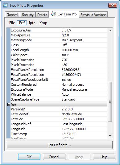
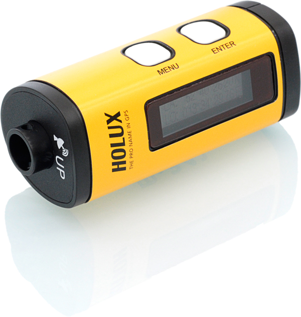
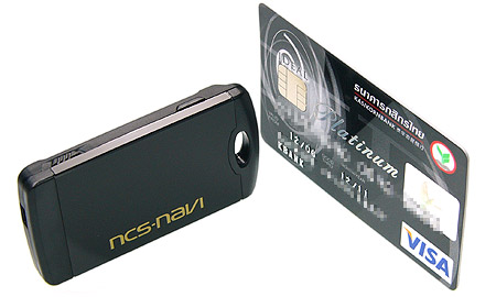
การใช้ Software บันทีกตำแหน่ง GPS
โดยส่วนใหญ่ software เหล่านี้จะใช้แผนที่ Google Earth ในการหาตำแหน่ง แล้ว Sync ตำแหน่ง GPS เข้าไปเก็บใน EXIF ให้
หากใครเชี่ยวชาญในการใช้งาน Google Earth ก็คงระบุตำแหน่งให้กับไฟล์ภาพได้ง่ายมากๆ เพียงแต่อาจทำให้เราหน้ามืดเป็นลมได้ หากเราถ่ายภาพกลับเต็มการ์ดความจุ 4GB หรือมากกว่านั้น
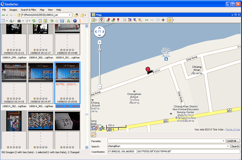
ตัวอย่างโปรแกรมตัวนี้
ผมว่าเจ๋งครับ แถมยังเป็นฟรีแวร์เสียด้วย
GeoSetter
GeoSetter is a freeware tool for Windows (XP or higher) for showing and changing geo data and other metadata (IPTC/XMP/Exif) of image files (e.g. images taken by digital cameras).
The current version is 3.3.60, released on 20. July 2010 (see changes)
Reads and writes the formats JPEG and TIFF as well as camera RAW formats DNG (Adobe), CRW, CR2 and THM (Canon), NEF and NRW (Nikon), MRW (Konica Minolta), PEF (Pentax), ORF (Olympus), ARW, SR2, SRF (Sony) and RAF (Fujifilm), RW2 and RAW (Panasonic), RWL (Leica)
Uses ExifTool from Phil Harvey for writing data
Shows existing geo coordinates, image directions and tracks on embedded Google Maps map (requires internet connection)
Setting geo data by using embedded Google Maps map (requires internet connection) or by entering known values for coordinates and altitude directly
Automatic filling of location IPTC fields and altitude values (requires internet connection)
Editable IPTC data (IPTC-NAA/XMP)
Possibilty to change taken date of images
Synchronization with track files (NMEA, GPX, PLT, Sony LOG, IGC and others)
Synchronization with already geo tagged images with buddy images (e.g. between RAW images and their corresponding JPEG images)
Google Earth export
Synchronization with locr.com
Localizable user interface English, German, French, Italian, Swedish, Czech, Spanish, Danish, Dutch, Russian, Japanese, Chinese and Norwegian language is available at the moment
แปลเองนะครับ 
คร่าวๆก็ตามที่บอกข้างบน ถ้าหากเราใช้ GPS Track Logger หรือ Navigator หรือ มือถือ หรืออุปกรณ์อื่นใด ที่บันทึก Log track ได้ ก็นำไฟล์ Log มาจับคู่กับไฟล์ภาพบนโปรแกรมนี้ได้เลย
| จากคุณ |
:
chaoswalker   
|
| เขียนเมื่อ |
:
18 ส.ค. 53 08:44:33
|
|
|
|
|